Expect power outages, icy roads as winter storm hits Charlotte area this weekend
READ MORE
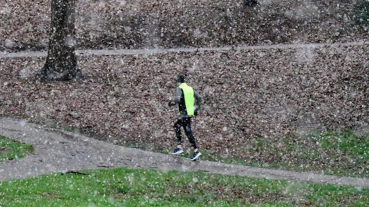
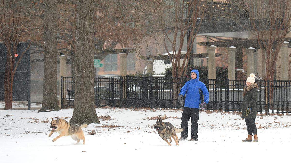
Winter weather in Charlotte
The latest weather news and how to prepare.
Expand All
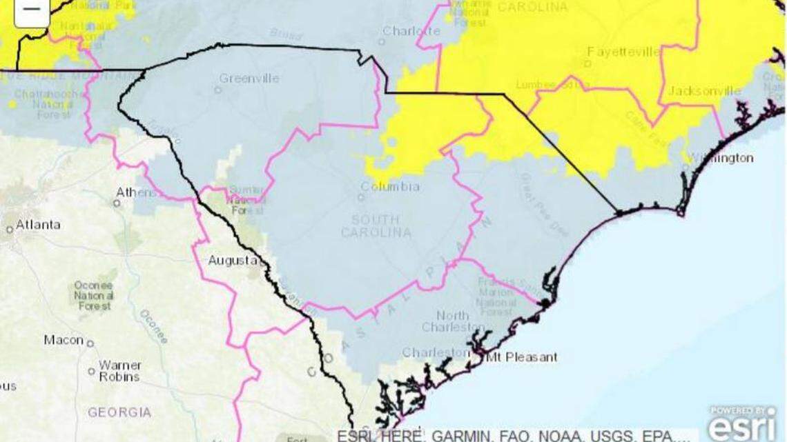
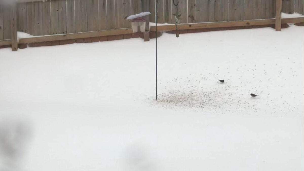
Mecklenburg County can expect up to 7 inches of snow and sleet this weekend, and ice that will bring outages and make travel “nearly impossible” on roads across the region, National Weather Service meteorologists said Thursday.
The highest amount of snow and sleet is forecast to dump in the Lake Norman area, meteorologist Jake Wimberley of the NWS office in Greer, S.C, said at 4 p.m., after the weather service issued a winter storm watch for the region that begins late Saturday.
About 3 inches of a snow-sleet mix could fall in the southern end of the county, he said.

A quarter-inch of ice could fall across the Charlotte metro area, making travel treacherous, according to Wimberley — more so in south Mecklenburg “but pretty much all of Charlotte.”
In its winter storm watch, the NWS said “power outages and tree damage are likely due to the ice. Travel could be nearly impossible.”
The winter storm is predicted to start as rain late Saturday and turn into a wintry mix by daybreak Sunday, Wimberley said.
Expect mostly freezing rain as part of the mix in many areas, he said.
“Expect that there will be travel delays,” the meteorologist advised.
According to the weather service, 6 to 8 inches of snow could fall over the northwest Piedmont, which Wimberley said includes Alexander, Catawba, Iredell, Cabarrus, Rowan and Davie counties in the Interstate 40 corridor.
Snow accumulations of 10 or 11 inches are expected in Hickory, western Burke and Caldwell counties and on Grandfather Mountain, he said.
The NWS watch calls for 4 to 6 inches in the Interstate 85 corridor, which Wimberley said includes Mecklenburg, Cabarrus, and Rowan counties and, in South Carolina, the Gaffney-Spartanburg areas.
And 2 to 4 inches are predicted south of Interstate 85, according the watch. That includes Union County and, in South Carolina, York, Chester counties, Wimberley said.
Weather in Western NC
Western North Carolina could see a foot of snow from Saturday into Sunday. Meanwhile, ice accumulations of up to a half inch are possible in the foothills of North Carolina and South Carolina, forecasters say.
“This ice storm could cause major impacts to travel and infrastructure, most notably power outages and excessive tree damage,” the National Weather Service says.
“Conditions may well be treacherous across the region by daybreak Monday with snow and ice on the ground and temperatures in the 20s throughout. ... Cold temperatures following the storm may keep road conditions treacherous into early next week.”
Forecasters say the storm front will target northeast Georgia through the Carolinas, with up to a foot of snow possible in parts of the North Carolina mountains.
“Most of Saturday should be dry,” according to WBTV meteorologist Leigh Brock. “Saturday night and Sunday, things should start to go downhill. Snow will likely move into the picture first. During the day on Sunday, more of a winter mix should work in. ... The models have been going back and forth on the potential for ice and snow.”
“Hopefully that trend will turn around tomorrow because no one wins when there’s ice,” she said.

Charlotte forecast
Here is the holiday weekend forecast from the National Weather Service, as of 5 p.m., Thursday:
Saturday: Mostly cloudy, with a high near 45. East wind 5 to 7 mph.
Saturday night: Snow showers likely, possibly mixed with rain before 4 a.m., then snow showers likely, possibly mixed with freezing rain. Cloudy, with a low around 26. East northeast wind 6 to 10 mph, with gusts as high as 18 mph. Chance of precipitation is 60%
Sunday: Snow showers, freezing rain, and sleet before 4 p.m., then rain and snow showers. The snow and sleet could be heavy at times. High near 32. Chance of precipitation is 100%.
Sunday night: Rain showers, snow showers, and freezing rain likely before 11 p.m., then a chance of snow showers between 11 p.m. and midnight. Mostly cloudy, with a low around 28. Chance of precipitation is 60%.
Martin Luther King Jr. Day: Sunny, with a high near 41.
This story was originally published January 13, 2022 at 6:26 AM.